
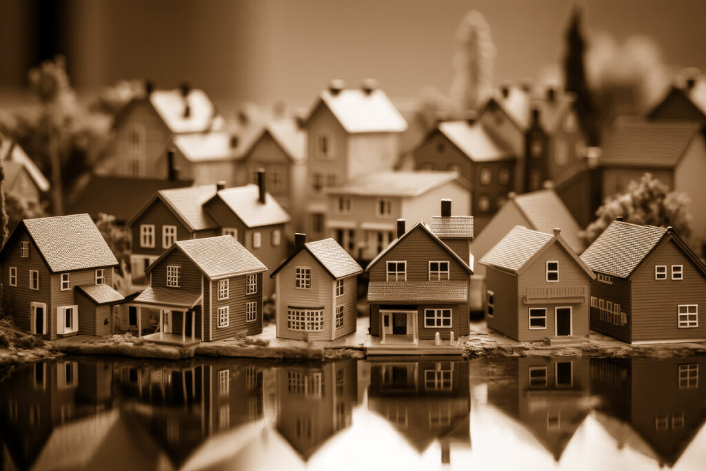
A Neighborhood Shaped by Water and Growth
Baywood Shores occupies a special corner of Dunedin, where residential streets meet the broad waters of St. Joseph Sound and Curlew Creek. Tucked west of Bayshore Boulevard and just south of the Dunedin Causeway, the neighborhood feels both connected to the city and pleasantly removed from its busier commercial corridors.
For longtime residents, Baywood Shores is more than a collection of homes. It is a place shaped by postwar optimism, coastal living, changing architecture, tropical storms, and the steady evolution of Dunedin itself. Its streets—Baywood Drive North and South, Trade Winds Drive, Coronado Way, and Del Rio Way—tell the story of a community that began taking shape during one of the most important growth periods in Pinellas County.
Origins in Postwar Dunedin
Baywood Shores emerged during the post-World War II building boom, when Dunedin was changing from a small Gulf Coast town into a year-round residential community. Local real estate records indicate that many of the neighborhood’s earliest homes were built in the 1950s, with some dating to approximately 1954 through 1956. Those dates place Baywood Shores squarely in the era when families were moving to Florida in search of sunshine, affordable homes, and a relaxed coastal lifestyle.
Dunedin was growing rapidly during those years. The city’s population rose from roughly 3,200 residents in 1950 to more than 6,500 by 1956, according to a contemporary city directory. That same publication promoted Dunedin as a scenic community on St. Joseph’s Bay, emphasizing its water, mild climate, homes, parks, churches, and access to the Gulf. Baywood Shores was created within that larger atmosphere of optimism and expansion.
The subdivision’s original appeal was easy to understand. Homes could be built near the water without being far from the conveniences of town. Bayshore Boulevard offered a north-south connection, while the developing causeway provided access to the beaches and natural areas west of Dunedin.
How Baywood Shores Got Its Name
The exact origin of the name “Baywood Shores” is not clearly documented in the readily available public histories of Dunedin. However, the name itself reflects the neighborhood’s setting and the language commonly used by postwar Florida developers.
“Bay” describes the community’s relationship to St. Joseph Sound, Curlew Creek, and the coastal landscape. “Wood” likely evokes the stands of native vegetation and wooded lots that characterized much of suburban Florida before development filled in. “Shores” signals the neighborhood’s waterfront identity, even for homes that are not directly on the water.
In other words, Baywood Shores appears to be a descriptive development name rather than one honoring a particular individual or historic event. Like many mid-century Florida subdivisions, it promised a lifestyle: a home among trees, close to the shore, with room for outdoor living.
The Street Pattern and Early Homes
A walk through Baywood Shores reveals the neighborhood’s original design. Baywood Drive forms the residential spine, while Trade Winds Drive and smaller connecting streets lead toward Bayshore Boulevard and the waterfront. Coronado Way and Del Rio Way are also identified in city records as streets within Baywood Shores.
Many early houses reflected the practical, informal architecture of the 1950s. Single-story homes, broad roof overhangs, screened porches, carports, terrazzo floors, and large windows were well suited to Florida’s climate. The homes were generally designed for easy living rather than ceremony. A front lawn, a backyard gathering space, and a short drive to the water mattered more than elaborate ornament.
Some of those original houses remain, while others have been expanded, remodeled, or replaced. That mix gives Baywood Shores much of its visual character. A modest mid-century ranch may sit beside a larger contemporary home, yet both belong to the same continuing neighborhood story.
The Causeway, Parks, and Dunedin’s Coastal Identity
Baywood Shores developed as Dunedin strengthened its connection to the Gulf islands. The Dunedin Causeway became one of the defining pieces of local infrastructure, opening the way to the beaches and natural landscapes of Honeymoon Island. A 1957 city directory described the long-standing local ambition to build a causeway from Dunedin to Caladesi Island, reflecting how central beach access was to the city’s identity.
By the 1960s, Dunedin was investing in parks, roads, utilities, and recreation. The city acquired land for Hammock Park and other public facilities in 1965, while long-range planning focused on streets, sewers, sidewalks, and a growing population. These improvements helped transform nearby neighborhoods such as Baywood Shores from isolated coastal developments into established parts of the city.
Today, residents can reach Hammock Park, the Pinellas Trail, the Dunedin Causeway, and Honeymoon Island State Park within a short drive or bike ride. The nearby Dunedin Golf Club, located east of Bayshore Boulevard, adds another layer to the area’s recreational history. The neighborhood’s location remains one of its greatest assets: close to beaches and natural areas, but still within reach of downtown Dunedin’s shops, restaurants, and civic institutions.
The Baywood Shores Clubhouse
One of the neighborhood’s most notable shared landmarks was the Baywood Shores Clubhouse at 596 Baywood Drive North. For decades, the clubhouse served as a gathering place for residents and community activities. Local groups have used the building for meetings and events, showing how a private neighborhood facility could also become part of Dunedin’s broader social fabric.
In the late 2010s, the city documented a proposal to remove the clubhouse and convert the property into park space, with the associated parking lot considered for sale. Whether remembered as a meeting hall, a social center, or simply a familiar building at the heart of the neighborhood, the clubhouse represents an important chapter in Baywood Shores history.
Weather, Water, and Resilience
Living beside the water has always been both a privilege and a responsibility. Baywood Shores’ low-lying location makes it vulnerable to heavy rain, tidal flooding, storm surge, and drainage problems. During Hurricane Idalia in 2023, residents experienced significant flooding, and Hurricane Helene later caused additional damage while many homeowners were still recovering.
These storms became modern milestones in the neighborhood’s history. They also prompted the City of Dunedin to study drainage improvements and adaptation strategies for Baywood Shores. The effort reflects a broader reality facing older coastal communities throughout Florida: preserving the character of established neighborhoods now requires planning for higher water, stronger storms, and changing environmental conditions.
A Living Heritage
Baywood Shores has evolved from a postwar subdivision into a mature coastal neighborhood, but its essential character remains recognizable. The palms along Baywood Drive, the breezes moving in from the sound, the quick route to the causeway, and the blend of original homes and newer construction all connect the present to the 1950s.
Its heritage is not defined by a single grand building or famous historical figure. Instead, it lives in ordinary details: a longtime homeowner remembering neighborhood gatherings, a mid-century ranch preserved beneath newer landscaping, children riding bikes toward the water, and residents working together after a storm.
That is what makes Baywood Shores special. It is a neighborhood shaped by Dunedin’s history, but still making history of its own—one home, one storm, one sunset, and one shared memory at a time.